Polar Services - Antarctic - Meta-Data Summaries (1999/00 Season) - RADARSAT - Jezek
| RADARSAT - Jezek |
|---|
 |
Data Set Name: RADARSAT 1999/00 Investigator: PI: Ken Jezek POC: PI Institution: Ohio State University Email: jezk |
|
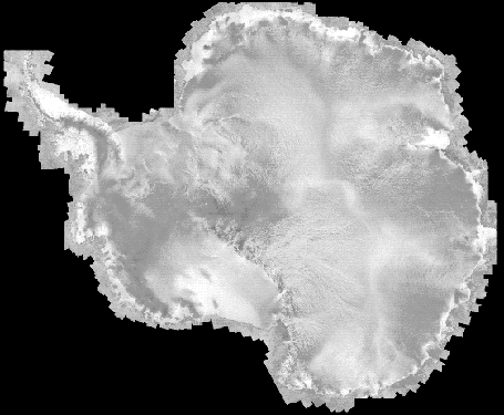
Summary: UNAVCO received a last minute request to provide ground control data for a RADARSAT ice velocity mapping project. The goal of this pilot project is to produce a continent wide ice velocity map using interferometric synthetic aperture radar (INSAR) techniques. UNAVCO operated a geodetic quality Trimble 4000 SSi receiver at the Long Duration Balloon facility at Williams Field for a full month, and installed and surveyed a nearby makeshift radar reflector (four 55-gallon drums bundled together). The survey was timed to coincide with two satellite observation periods, and ran continuously for a full month to get a full lunar cycle tidal signature. After the field observations, the raw data were archived and provided to the PIs. |
Last modified: 2019-12-24 02:12:30 America/Denver

