
Polar Services - Antarctic - Meta-Data Summaries (1999/00 Season) - G-063 Prentice
| G-063 Prentice |
|---|
 |
Data Set Name: G-063 1999/2000 Investigator: PI: Michael Prentice POC: PI Institution: University of New Hampshire Email: mike.prentice |
|
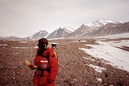
Summary: Support was provided to position tag ground penetrating radar (GPR) data recorded at several dry valley locations during the second part of a pilot project by the University of New Hampshire and CRREL. By simultaneously using GPR and GPS, the GPR profiles of underlying stratigraphy can be accurately referenced to surface features and locations. The GPS equipment was also used to obtain geo-referenced control for GIS applications. Two geodetic receivers were provided for the project, including one new Trimble 4700, which is well suited for the backpack, mounted kinematic surveys. UNAVCO also provided data processing software, training to field assistant Jennifer Horseman, field assistance, post-processing support, and data archiving. |
Last modified: 2019-12-24 02:12:30 America/Denver