
Polar Services - Antarctic - Meta-Data Summaries (1999/00 Season) - B-044 Fritsen
| B-044 Fritsen |
|---|
 |
Data Set Name: B-044 1999/00 Investigator: PI: Chris Fritsen POC: Ed Adams Institution: Montana State University Email: eda |
|
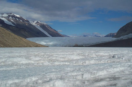
Summary: UNAVCO performed early and late season re-surveys of lake ice profiles originally surveyed in November 1998, as requested by co-PI Ed Adams. The goal of the surveys is to digitize the wind and sun formed surface roughness of the lake ice and to provide a surface measurement method of ice thickness. Repeat surveys measure seasonal and annual variations of surface topography, which may affect annual lake ice melting and the lake biosystem. The new backpack mounted Trimble 4700 system was used for the kinematic surveys, and provided a more robust survey method than the sled mounted system used the previous season. A handheld Garmin DGPS receiver was used to relocated the transect endpoints during the surveys. Data processing and archiving were provided after the field surveys. Prior to the field season, data processing support was provided to Dr. Adams for outstanding data sets collected during the previous field season. |
Last modified: 2019-12-24 02:12:30 America/Denver