
Polar Services - Antarctic - Meta-Data Summaries (1998/99 Season) - I-169 Whillans
| I-169 Whillans |
|---|
 |
Data Set Name: I-169 1998/99 Investigator: PI: Ian Whillans POC: PI Institution: Ohio State University Email: whillans+ |
|
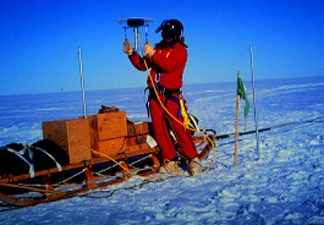
Summary: Dr. Whillans was provided two Trimble SSi GPS receivers and GPSurvey data processing software to measure shear margin strain of several West Antarctic ice streams. The field team was also provided GPSurvey data processing software which was shipped to The Ohio State University prior to the field season. The data were archived by UNAVCO upon project completion. |
Last modified: 2019-12-24 02:12:31 America/Denver