
Polar Services - Antarctic - Meta-Data Summaries (1998/99 Season) - I-157 Kamb
| I-157 Kamb |
|---|
 |
Data Set Name: I-157 1998/99 Investigator: PI: Barclay Kamb POC: Hermann Engelhardt Institution: California Institute of Technology Email: engel |
|
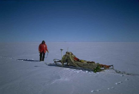
Summary: GPS support was requested to measure ice stream velocities at the UPD hot water drill site. A strain grid was laid out and surveyed by UNAVCO during the LC-130 recovery effort in early December. This grid included both lateral and longitudinal components to measure both shear and elongational strain in the vicinity of the drill site. The survey was repeated in late January, providing the desired velocity information. In addition, the field team was provided with a geodetic receiver to measure several daily positions at the camp in an attempt to detect daily ice stream velocity variations that may be caused by tides or seasonal fluctuations. This receiver was not set up until late December when the science team was in the field, and data from this survey required advance post-processing using both Bernese and GIPSY software. Data archiving and all data processing were completed by UNAVCO. |
Last modified: 2019-12-24 02:12:31 America/Denver