
Polar Services - Antarctic - Meta-Data Summaries (1998/99 Season) - G-063-1 Prentice
| G-063-1 Prentice |
|---|
 |
Data Set Name: G-063-1 1998/99 Investigator: PI: Michael Prentice POC: PI Institution: University of New Hampshire Email: mike.prentice |
|
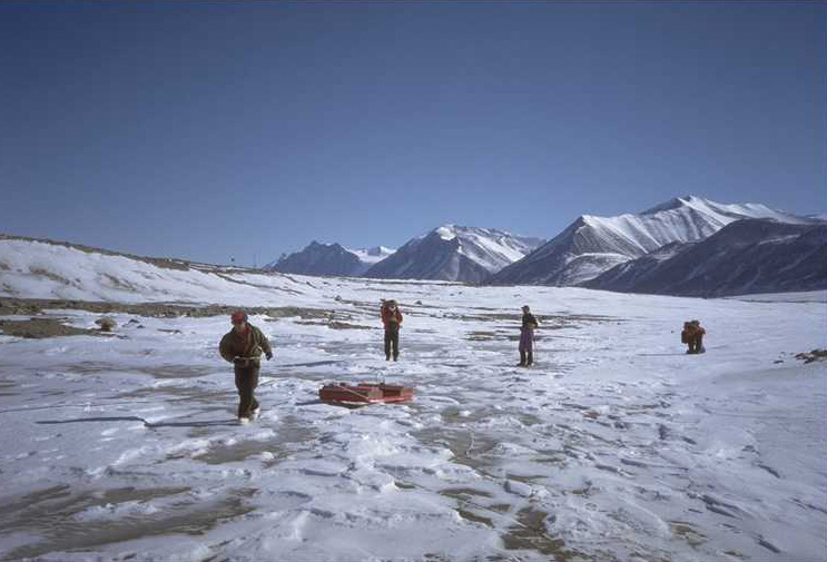
Summary: Geodetic GPS receivers and a data processing computer were provided to position tag ground penetrating radar (GPR) data recorded at several dry valley locations during a pilot project by the University of New Hampshire and CRREL. By simultaneously using GPR and GPS, the GPR profiles of underlying stratigraphy can be accurately referenced to surface features and locations. The GPS equipment was also used to obtain geo-referenced control for GIS applications. UNAVCO also provided training to field assistant Anders Klarhall, field assistance, post-processing support, and data archiving. |
Last modified: 2019-12-24 02:12:31 America/Denver