Projects Help with Projects Project Support & Services Polar Services What's New Remote Station Technology Polar Geodetic Data GPS Support LiDAR Support GPS Base Stations External Polar-Related Links

Polar Services - Antarctic - Meta-Data Summaries (1998/99 Season) - G-052 Mullins


G-052 Mullins
photo

Data Set Name:
G-052 1998/99

Investigator:
PI:  Jerry Mullins
POC: Larry Hothem
Institution: United States Geological Survey
Email:  lhothemusgs.gov
Web Site:  http://usarc.usgs.gov

Data Type:
Static GPS

Dates:
12/98-1/99

Location:
Name: Transantarctic Mountains
Coordinates: 77 31 21 S  161 41 24 E	
Radius: 150 km

Data Center:
Name: UNAVCO
URL: www.unavco.org
Email: archive-gpsunavco.org
Phone: 303-381-7500
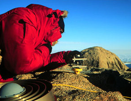
Summary:
One Trimble SSE geodetic receiver was provided to Larry Hothem to augment equipment used for the Transantarctic Mountains Deformation (TAMDEF) GPS project.
 

Last modified: 2019-12-24  02:12:31  America/Denver