
Polar Services - Antarctic - Meta-Data Summaries (1997/98 Season) - S-081 Kyle
| S-081 Kyle |
|---|
 |
Data Set Name: S-081 1997/98 Investigator: PI: Philip Kyle POC: PI Institution: New Mexico Institute of Mining & Technology Email: kyle |
|
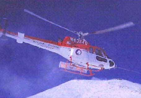
Summary: Dr. Kyle requested GPS receivers to survey tephra locations on Mount Erebus and to position tag atmospheric sampling data collected from a helicopter while flying in the Erebus plume. The field team received GPS training in McMurdo prior to moving to the Erebus Lower Hut. Two GPS receivers and data processing equipment were provided, and UNAVCO installed a GPS benchmark at the hut to provide a precise GPS base location for this and future projects in the area. Atmospheric sampling missions were flown from the hut, and GPS data were collected in kinematic mode by mounting the GPS antenna on the dash of the ASTAR helicopter. Data processing and archiving assistance was provided after the field project, and a GPSurvey data processing hardware key was loaned to graduate research assistant Chris Harpel in New Mexico after the field season. |
Last modified: 2019-12-24 02:12:32 America/Denver