
Polar Services - Antarctic - Meta-Data Summaries (1997/98 Season) - ICAIR Aerial Photo Ground Control
| ICAIR Aerial Photo Ground Control |
|---|
 |
Data Set Name: ICAIR 1997/98 Investigator: PI: Matt Lythe POC: TBD Institution: International Centre for Antarctic Information and Research Email: TBD |
|
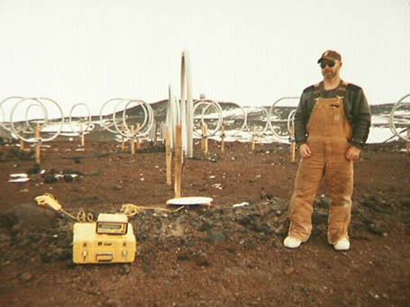
Summary: At the start of the field season, UNAVCO received a request from the International Centre for Antarctic Information and Research (ICAIR) to obtain ground control at three locations at McMurdo station to geo-reference aerial photographs. The surveys were performed by the UNAVCO field engineer, and post-processed results were provided to ICAIR. |
Last modified: 2019-12-24 02:12:31 America/Denver