
Polar Services - Antarctic - Meta-Data Summaries (1996/97 Season) - S-151 Dunbar
| S-151 Dunbar |
|---|
 |
Data Set Name: S-151 1996/97 Investigator: PI: Nelia Dunbar POC: PI Institution: New Mexico Institute of Mining and Technology Email: nelia |
|
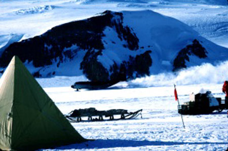
Summary: Dr. Dunbar requested UNAVCO equipment for nearly the entire field season to accurately digitize the locations of tephra lines embedded in the polar ice. The continuous data collection strategy was used for this work, and all data were processed in the field by the field team members. The in- field data processing ensured that good data were collected, and the resulting tephra maps gave the field team an immediate overview of the study area, allowing them to optimize their data collection strategies. Dr. Dunbar was also provided with a data processing computer to finish data processing after the field season. Due to the large amounts of data generated, and the complexity of the data collection and processing strategy, two field team members (Nelia Dunbar and Richard Esser) were trained at UNAVCO prior to the field season. This proved to be an effective strategy which eliminated the need for extensive training at McMurdo when both the UNAVCO field engineer and the field team members were busy with other commitments. Data from the project were periodically backed up by the UNAVCO engineer when the field team was at McMurdo in transit between remote field camps. |
Last modified: 2019-12-24 02:12:33 America/Denver