
Polar Services - Antarctic - Meta-Data Summaries (2005/06 Season) - I-163 Raymond
| I-163 Raymond |
|---|
 |
Data Set Name: I-163 2005/06 Investigator: PI: Charles Raymond Institution: University of Washington POC: Kenichi Matsuoka Email: matsuoka |
|
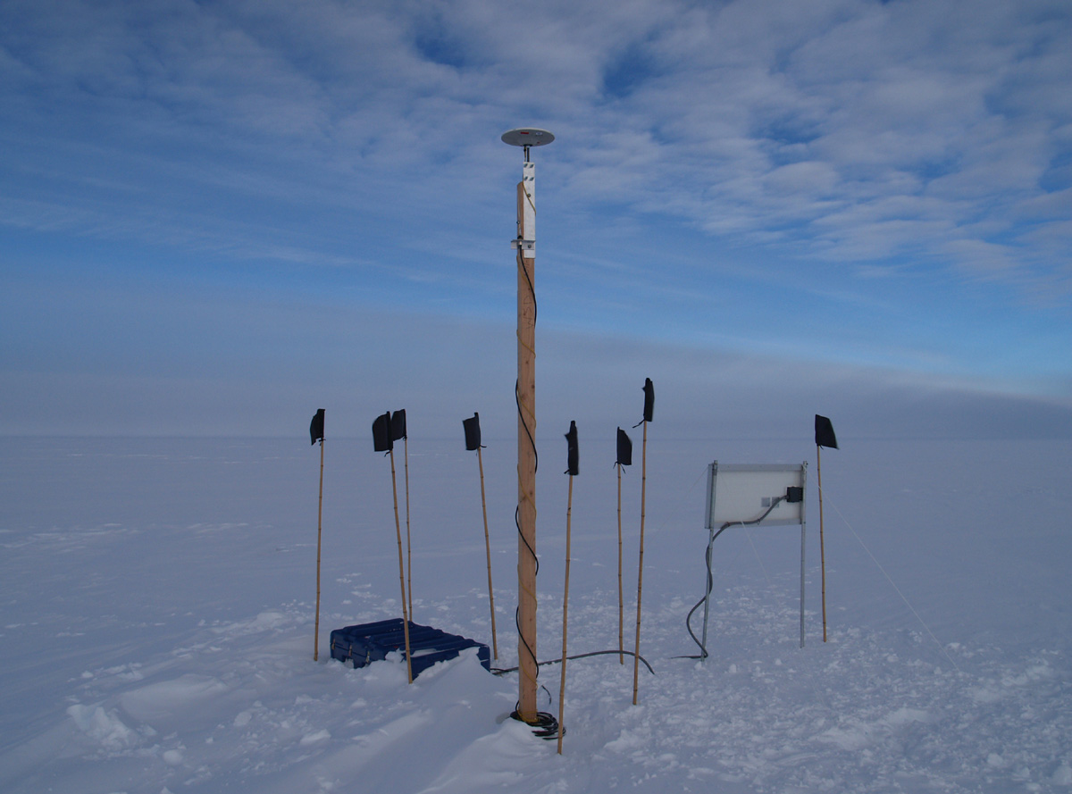
Summary: The field team used ice-penetrating radar to detect spatial variations of ice crystal alignments over a wide area near the West Antarctic Ice Sheet (WAIS) divide, which separates ice flow toward the Ross and Amundsen seas. Since ice crystal orientations reveal the history of ice flow in the region, this data will be of great interest to the upcoming WAIS divide drilling project. UNAVCO provided four Trimble 5700 receivers for use in tracking the paths traversed by the radar sled. A continuously-operating base station was also installed at the WAIS Divide camp for use by I-163 as well as other science groups operating in the area. Formal training was also provided at UNAVCO for Dr. Kenichi Matsuoka prior to the field season. |
Last modified: 2019-12-24 02:12:38 America/Denver