
Polar Services - Antarctic - Meta-Data Summaries (2004/05 Season) - G-081 Kyle
| G-081 Kyle |
|---|
 |
Data Set Name: G-081 2004/05 Investigator: PI: Phil Kyle Institution: New Mexico Institute of Mining and Technology POC: PI Email: kyle |
|
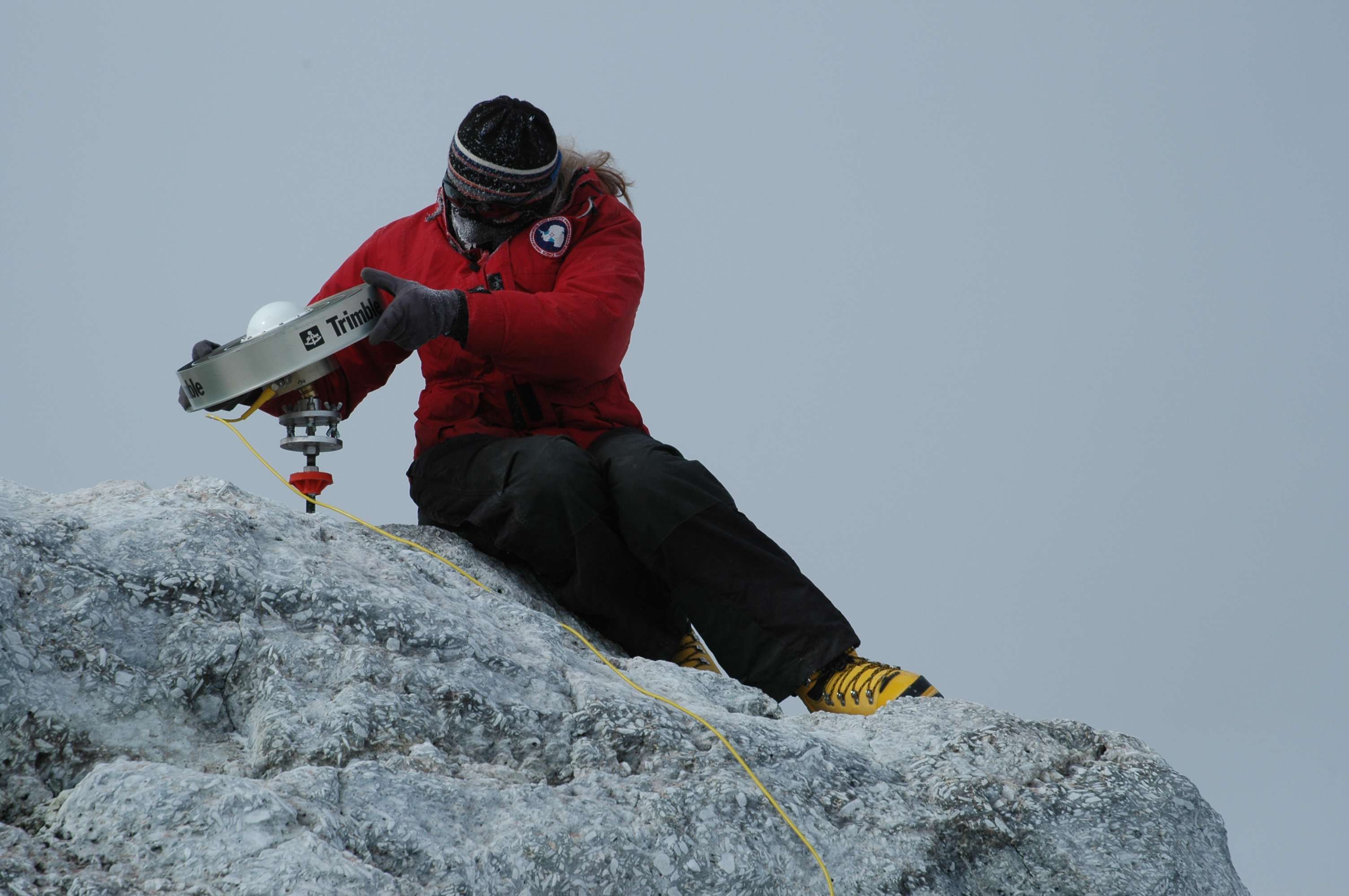
Summary: Dr. Kyle requested UNAVCO support for both campaign and permanent station GPS activities on Mt. Erebus to measure the deformation of the volcano caused by the migration of magma. Three receivers and field support were provided to re-survey six geodetic monuments on and around Mt. Erebus which are not monitored by continuous geophysical instruments. Velocity stakes on the Barne Glacier were re-surveyed as well to better determine the glacier's velocity to constrain the age of an ash layer found in the glacier's ice. UNAVCO continued involvement in maintenance and upgrading of the permanent GPS network on Erebus. The Trimble 5700 at site CONZ was replaced with a Trimble NetRS. Data are transferred via IP link to Boulder, Colorado, where the data are archived. The 5700 receiver at Abbott Peak was replaced by a Trimble R7 to test the R7's capability to run through the winter in the cold climate. Data from the 7 telemetered Erebus permanent stations (5 dual-frequency and 2 single-frequency) are downloaded daily to McMurdo Station, and transferred to the UNAVCO data archive where they are on-line and publicly available. GPS data collected since 1999 are showing displacements on the order of millimeters per year. |
Last modified: 2019-12-24 02:12:39 America/Denver