
Polar Services - Antarctic - Meta-Data Summaries (2003/04 Season) - G-081 Kyle
| G-081 Kyle |
|---|
 |
Data Set Name: G-081 2003/04 Investigator: PI: Phil Kyle POC: PI Institution: New Mexico Institute of Mining and Technology Email: kyle |
|
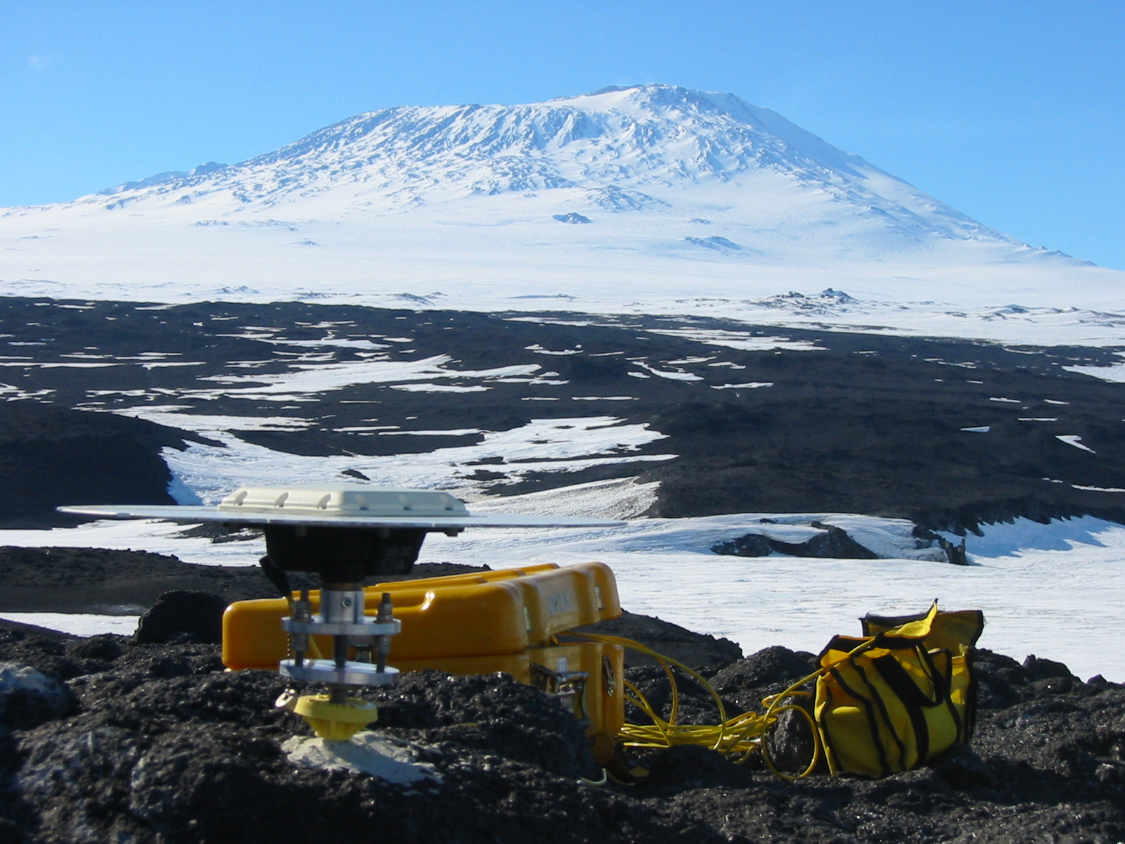
Summary: Dr. Kyle requested UNAVCO support for both campaign and permanent station GPS activities on Mt. Erebus to measure the deformation of the volcano caused by the migration of magma. Four receivers and field support were provided to re-survey the nine-monument GPS deformation network that was installed on Mount Erebus during the 1999/2000 season. GPS data collected since 1999 are showing displacements on the order of millimeters per year. Velocity stakes on the Barne Glacier were re-surveyed this season as well. UNAVCO continued involvement in maintenance and upgrading of the permanent GPS network on Erebus, and a fifth dual-frequency site was installed at RAYG at the crater rim, with data downloading and archiving provided by UNAVCO. The Trimble 4000 at site CONZ was replaced with a Trimble 5700, with much lower power requirements. Another 5700 was installed without telemetry at ABBZ to replace the single-frequency GPS equipment which was destroyed by wind. Data from all of the telemetered Erebus permanent stations are downloaded daily to McMurdo Station, and transferred to the UNAVCO data archive where they are on-line and publicly available. |
Last modified: 2019-12-24 02:12:39 America/Denver