
Polar Services - Antarctic - Meta-Data Summaries (2002/03 Season) - I-209 Conway
| I-209 Conway |
|---|
|
Data Set Name: I-209 2002/03 Investigator: PI: Howard Conway Email: conway |
| Summary:
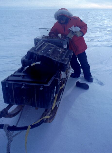
Dr Conway's group is using GPS to determine present-day velocity fields and ice-penetrating radar to determine sub-surface ice characteristics in the western divide area of the West Antarctic Ice Sheet (WAIS). The work is in support of the WAISCORES deep drilling project, scheduled to begin in the 05-06 season. UNAVCO provided three Trimble 5700's, training, and archiving after the season. |
Last modified: 2019-12-24 02:12:41 America/Denver