
Polar Services - Antarctic - Meta-Data Summaries (2002/03 Season) - Cape Hallett Gilbert
| Cape Hallett Gilbert |
|---|
|
Data Set Name: Cape Hallett 2002/03 Investigator: PI: Geoff Gilbert Institution: Raytheon Polar Services Company POC: Bill Gilmore Email: william.gilmore |
| Summary:
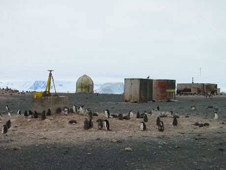
Chuck Kurnik along with Geoff Gilbert and Brian Granbery of the Environmental department and Elizabeth Morton of the BFC, were sent to Cape Hallett to gather soil and water samples. The GPS work included mapping several pools suspected of being contaminated, surveying water and soil sample locations, providing accurate ground water and permafrost elevations, and mapping Ceebee Spit and the existing camp. UNAVCO provided three GPS receivers and ancillary equipment, field support, data processing and data archiving. |
Last modified: 2019-12-24 02:12:40 America/Denver