
Polar Services - Antarctic - Meta-Data Summaries (2001/02 Season) - I-190 MacAyeal
| I-190 MacAyeal |
|---|
|
Data Set Name: I-190 2001/02 Investigator: PI: Doug MacAyeal Institution: University of Chicago POC: Andrew Bliss Email: abliss |
| Summary:
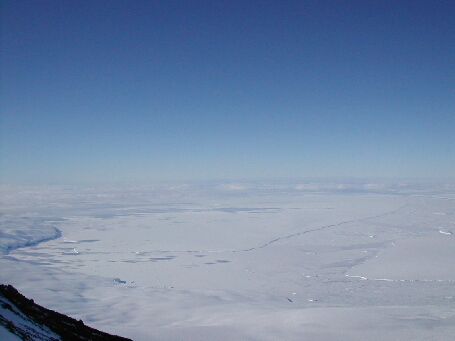
Dr. MacAyeal is studying B-15A and C-16, the most recent of the large icebergs to calve from the Ross Ice Shelf. UNAVCO engineers Chuck Kurnik and Shad O'Neel accompanied field team leader Andy Bliss and mountaineer Chris Simmons to C-16 to install the GPS receivers, a tilt meter, and an Automated Weather Station (AWS) on a 10-meter tower. The data will be used to understand how tides, winds and sea currents affect the movement of the iceberg. UNAVCO provided field support (Figure 6), three geodetic receivers, and data archiving. |
Last modified: 2019-12-24 02:12:41 America/Denver