
Polar Services - Antarctic - Meta-Data Summaries (2001/02 Season) - B-017 Davis
| B-017 Davis |
|---|
|
Data Set Name: B-017 2001/02 Investigator: PI: Randall Davis Institution: University of Texas POC: PI Email: http://www.utmsi.utexas.edu/staff/fuiman/antarctica/index.htm (davisr |
| Summary:
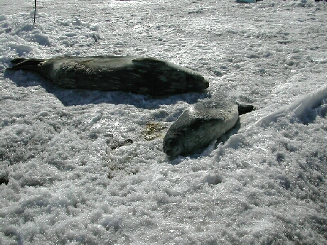
UNAVCO provided support to map the coastline around the west side of Ross Island, from Hut Point to Cape Evans, including the Dellbridge Islands. Major crack systems and seal holes were also surveyed. UNAVCO provided field support using Trimble 4700 systems, data processing and archiving. The surveys will be used in conjunction with the group's seal tracking efforts. Dr. Davis' group applies "dead-reckoning" methods to study dive paths of Weddell seals. These surveys are also useful to the McMurdo GIS community for ground-truthing satellite imagery for mapping purposes, and the georeferenced coordinates will be added to the "GIS Data Products" section of the UNAVCO website. |
Last modified: 2019-12-24 02:12:41 America/Denver