Polar Services - Antarctic - Meta-Data Summaries (2000/01 Season) - G-081 Kyle
| G-081 Kyle |
|---|

|
Data Set Name: G-081 2000/01 Investigator: PI: Philip Kyle POC: PI Institution: New Mexico Institute of Mining and Technology Email: http://www.ees.nmt.edu/Geop/erebus.html (kyle |
| Summary:
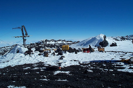
Philip Kyle requested UNAVCO support to survey the nine monument GPS deformation network that was installed on Mount Erebus during the 1999/2000 season. UNAVCO personnel deployed three geodetic receivers early in the field season, and the G-081 team deployed two more and finished the survey using a total of five receivers. The network is used to monitor deformation of the volcano caused by the migration of magma. UNAVCO provided data archiving after the season. UNAVCO also provided two receivers, data processing software, and training to research assistant Jean Wardell to track helicopter flight profiles during plume sampling flights. In addition to the episodic campaign style survey, a continuously operating dual-frequency receiver was installed on one of the deformation network monuments (CONZ), and a third receiver was added to the existing L1 network. The L1 download computer was moved from the Crary Lab to Building 71 (McMurdo Ground Station) to eliminate a short-haul modem link and simplify the data transfer process. The L1 network and the dual-frequency receiver are downloaded to a single computer in Building 71 and the data are archived by UNAVCO. |
Last modified: 2019-12-24 02:12:42 America/Denver

