
Polar Services - Antarctic - Meta-Data Summaries (2000/01 Season) - B-034 Emslie
| B-034 Emslie |
|---|
|
Data Set Name: B-034 2000/01 Investigator: PI: Steve Emslie POC: PI Institution: University of North Carolina Email: emslies |
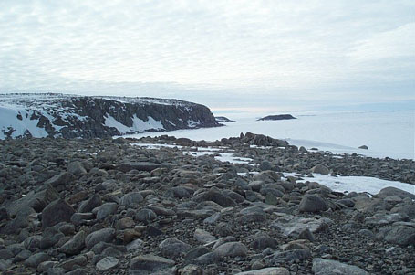
| Summary:
Steve Emslie is studying ancient penguin rookeries in the Ross Island/Scott Coast area and is interested in obtaining accurate elevations above sea level at each site. UNAVCO provided training, a Garmin Etrex handheld GPS receiver/altimeter, a Trimble 4000 geodetic receiver, and ancillary equipment for approximately one month. Upon return of the equipment, UNAVCO processed and archived the data, and provided the PI with coordinates and geoid elevations. |
Last modified: 2019-12-24 02:12:42 America/Denver