Polar Services - Antarctic - Meta-Data Summaries (1999/00 Season) - B-042 Wall
| B-042 Wall |
|---|
 |
Data Set Name: B-042-W 1999/00 Investigator: PI: Diana Wall POC: Andy Parsons Institution: Colorado State University Email: andy |
|
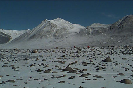
Summary: A Garmin DGPS receiver was provided to research assistant Andy Parsons for the duration of the field project to measure the location of soil study plots. These sample locations, part of the McMurdo Dry Valleys LTER program, help determine the effects of natural environmental conditions on the abundance and distribution of soil biota. |
Last modified: 2019-12-24 02:12:30 America/Denver

