
Polar Services - Antarctic - Meta-Data Summaries (1998/99 Season) - I-163 Raymond
| I-163 Raymond |
|---|
 |
Data Set Name: I-163 1998/99 Investigator: PI: Charlie Raymond POC: PI Institution: University of Washington Email: charlie |
|
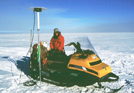
Summary: I-163 was provided two Trimble SSE receivers for geodetic control while conducting radio echo sounding to measure internal layering and thawed zones outside the shear zones of ice stream B and E and across the flow band that feeds ice stream D. |
Last modified: 2019-12-24 02:12:31 America/Denver