
Polar Services - Antarctic - Meta-Data Summaries (1997/98 Season) - S-176 Conway
| S-176 Conway |
|---|
 |
Data Set Name: S-176 1997/98 Investigator: PI: Howard Conway POC: PI Institution: University of Washington Email: conway |
|
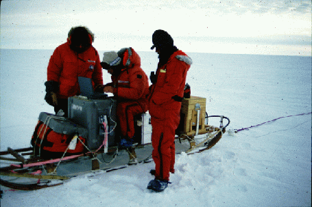
Summary: UNAVCO provided three GPS receivers to S-176 for the entire field season to support radar investigations of former shear margins at Roosevelt Island and Ice Stream C. Prior to field deployment, the field team conducted a shakedown survey at McMurdo, and UNAVCO provided backup data processing software and modified power cables as appropriate. |
Last modified: 2019-12-24 02:12:32 America/Denver