
Polar Services - Antarctic - Meta-Data Summaries (1997/98 Season) - S-005 DeVries
| S-005 DeVries |
|---|
 |
Data Set Name: S-005 1997/98 Investigator: PI: Art DeVries POC: PI Institution: University of Illinois Email: art_devries |
|
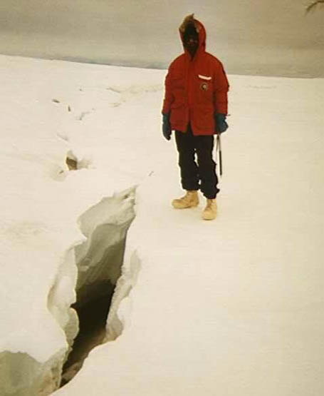
Summary: Field assistant Steve Munsell requested GPS support to accurately digitize the location of the Pegasus Crack and the nearby edge of the McMurdo Ice Shelf. This area has been the subject of S-005 study due to both the undisturbed ice crystal formations and as an access point to the colder water under the ice shelf. Position data are valuable both for GIS applications and for monitoring annual changes to the crack and edge of the ice shelf. The meter level GPS survey was performed by mounting the new GeoExplorer receiver on a snowmobile and driving along the features surveyed. The DGPS broadcast station provided differential corrections in real-time, eliminating post-processing requirements. |
Last modified: 2019-12-24 02:12:31 America/Denver