
Polar Services - Antarctic - Meta-Data Summaries (2004/05 Season) - G-079 Wilson
| G-079 Wilson |
|---|
 |
Data Set Name: G-079 2004/05 Investigator: PI: Terry Wilson Institution: Ohio State University PI Email: twilson |
|
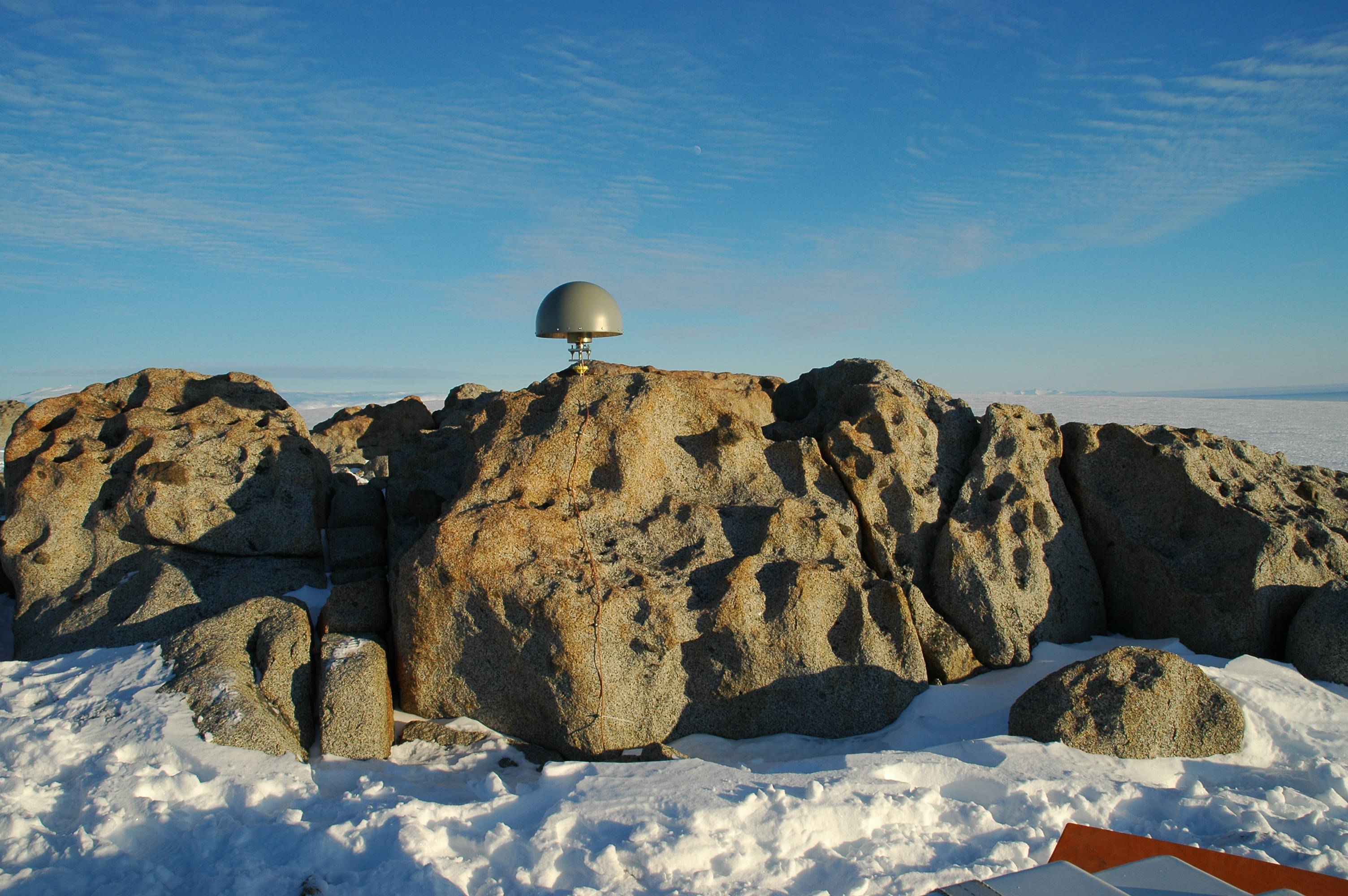
Summary: Dr. Wilson's group is studying the crustal motions around the Ross Sea area associated with glacio-isostatic adjustment (uplift or subsidence resulting from unloading or loading of crust by glaciers) and with active rifting of the Terror rift system. This group's application demands the highest possible precision allowed by GPS. UNAVCO provided ten Trimble 5700/R7 GPS receivers for campaign measurements and a Trimble NetRS receivers and a Trimble R7 receiver for winter-over sites. Additionally, UNAVCO worked with G-079 to upgrade two continuously-operating sites to telemeter their data back in near-real-time. The site at Mt. Fleming was equipped with a Trimble NetRS receiver which sends data to McMurdo via a repeater installed this season at Truncated Cones on Mt. Erebus. Iridium was tested as a means to send data back from Fishtail Point. |
Last modified: 2019-12-24 02:12:39 America/Denver