
Surface Met Data
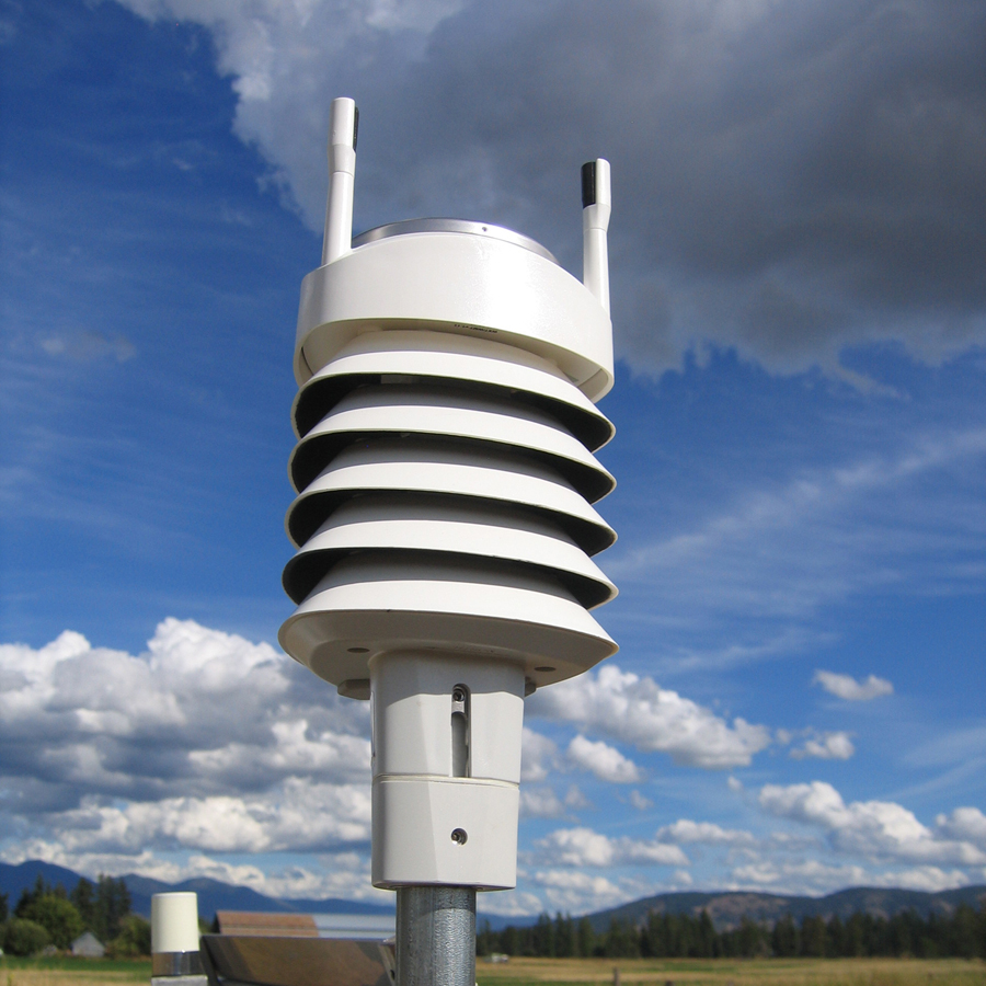
A subset of GPS/GNSS sites that GAGE handles have a meteorological (met) system — a "met pack" — attached to the GPS/GNSS receiver at these sites to record near-surface atmospheric measurements. When possible, GAGE makes these co-located tropospheric measurements available along with the GPS/GNSS observation data.
Met data are made available as RINEX meteorological data files (see e.g. Table A5, A6, and A9 for RINEX 2.11). These include time of observation (in GPS time and met observables such as temperature, relative humidity, and atmospheric pressure. Daily RINEX met files can also be downloaded directly from the surface met data directory; see also GPS/GNSS File Server Layout for more details.
Data Access
Please review the Data policy for data archived at GAGE.
Search and Access Tools
File Server
See our File Server instructions for accessing Met data files.
Last modified: 2026-05-28 09:22:22 America/Denver