
PBO
Overview
The Plate Boundary Observatory (PBO) component of the NSF EarthScope program precisely measured Earth deformation resulting from the constant motion of the Pacific and North American tectonic plates in the western United States. The Network of the Americas (NOTA) is a federated network comprised of stations that were part of the the former EarthScope PBO, COCONet, TLALOCNet networks.

UNAVCO was responsible for design, instrument installation, ongoing maintenance, communications, data archiving, data processing, and data availability for the geodetic instruments that comprised the Plate Boundary Observatory.
Principal Investigators (PI) for the Plate Boundary Observatory have included, former UNAVCO Presidents, Dr. William Prescott and Dr. M. Meghan Miller, and the Co-PIs Dr. Michael Jackson, and the current Director of UNAVCO Geodetic Infrastructure, Dr. Glen Mattioli ![]() unavco.org).
unavco.org).
Science
A primary objective of the PBO was quantify three-dimensional deformation and its temporal variability across the active boundary zone between the Pacific and North American plates.
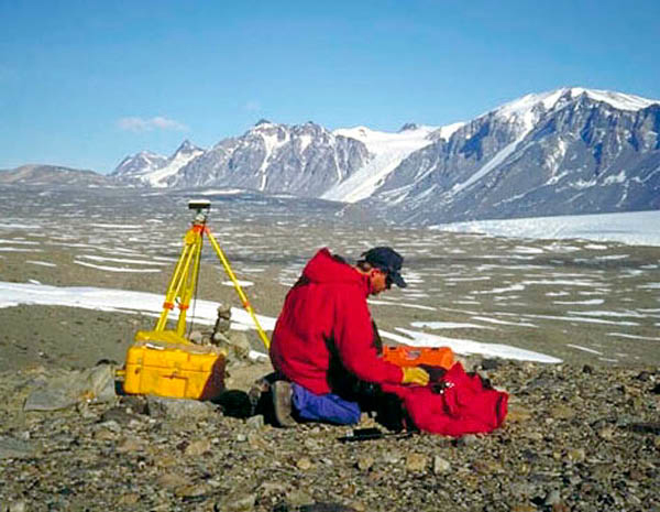
Centimeter to millimeter-level measurements of surface and near surface motion through Global Positioning System (GPS) stations, borehole geophysics, long-baseline laser strainmeters, accelerometers, and geodetic imaging has far reaching implications regarding earthquakes, volcanic unrest, subsidence, landslides, extraction or injection of fluids, loading or unloading of water, ice or snow, and other Earth processes.
Sounding of the atmosphere through GPS (i.e., satellite to receiver pathways) to measure total electron content in the ionosphere and precipitable water vapor in the troposphere impacts research regarding space weather, severe weather, and atmospheric dynamics.
Probing of surface conditions through GPS reflectrometry (i.e., satellite to surface to receiver pathways) to measure soil moisture, snow depth, vegetation moisture index, and other features, provides crucial information regarding the water cycle and water resources.
Advances in satellite systems through the Global Navigation Satellite System (GNSS) and innovations in GNSS/GPS receivers, other instrumentation, data processing, computing power, and cyberinfrastructure allowed the scientific community to better address an array of critical scientific and societal problems using space and terrestrial geodetic techniques in geographically distributed areas.
For more information about the science goals of PBO, please visit EarthScope Science.
History
- PBO Construction (MREFC), Oct 2003 - Sep 2008
- PBO Operations & Maintenance — Phase 1, Oct 2008 - Sep 2013
- PBO Operations & Maintenance — Phase 2 as a GAGE Facility activity, operated by UNAVCO Inc., Oct 2013 - Sep 2018
- NOTA Operations & Maintenance — GAGE Facility activity, operated by UNAVCO Inc., Oct 2018 - Sep 2023
Instrumentation & Networks
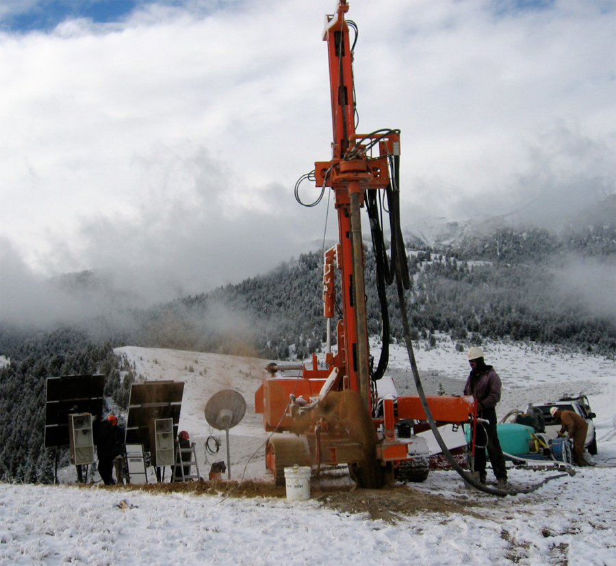
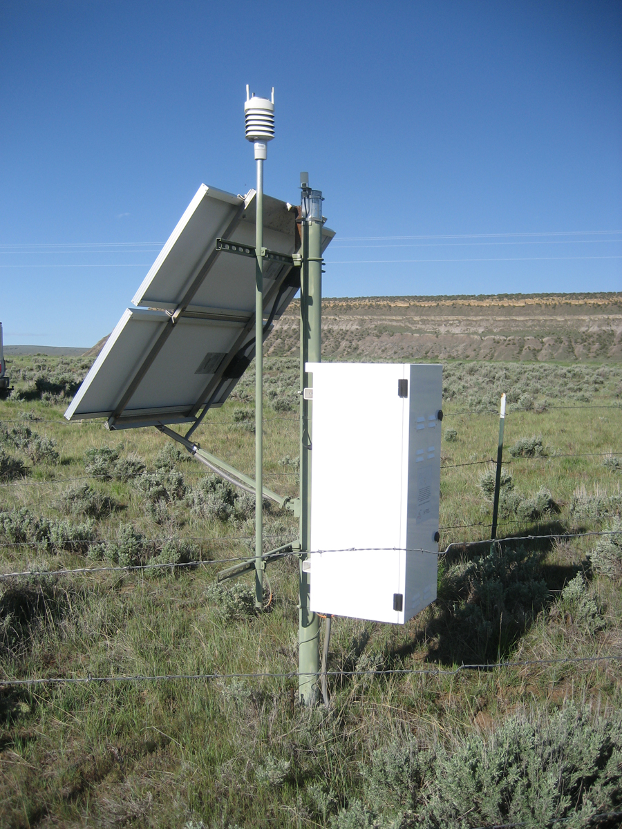
The PBO project had 891 permanent and continuously operating GPS stations and integrated 209 PBO Nucleus stations, which were previously part of legacy GPS networks, the total making up the current 1100 station PBO GPS Network. Additionally, there were 74 borehole strainmeters (BSM) and 78 short-period borehole seismometers comprising the PBO BSM Network and the PBO Borehole Seismic Network, respectively. Finally, PBO installed five long-baseline surface laser strainmeters (LSM) and took over the operation and maintenance of one legacy station that was built to similar specification, the six LSMs now making up the PBO LSM Network.
Maintenance
UNAVCO had the mandate to ensure that the PBO GPS Network was operated with a high level of performance and reliability. At any given time, at least 85% of the GPS stations in this network needed to be operational. UNAVCO provided both remote (office-based) and on-site maintenance for the PBO network. Office-based maintenance included activities such as receiver firmware upgrades and configuration changes. On-site maintenance included repairs due to hardware malfunctions, lightning strikes, vandalism, theft, or other unanticipated problems. Field engineers also performed scheduled maintenance on the equipment, such as battery replacement which was done every five years. Scheduled and unscheduled maintenance were combined where appropriate to reduce travel costs. The GPS Operations Manager coordinated the maintenance with the field engineers who were based in locations throughout the Western U.S. and Alaska.
Maintenance activities were scheduled to include a number of stations during one maintenance trip. This was done to minimize the travel costs associated with station visits. There was no set timeline for repairing non-operational stations. However, the following guidelines were used by PBO field engineers to prioritize GPS maintenance activities:
- non-operational stations with high scientific value
- stations losing data (power failures, antenna failures, etc.)
- stations streaming high-rate data
- stations with data communications failures over 2 weeks
- manually downloaded stations not visited for over four months
- stations with scheduled battery replacements or other planned maintenance
Data
The Plate Boundary Observatory (PBO) and now the Network of the Americas (NOTA) collects, archives and distributes data from a broad networks of GPS (and now GNSS) and seismic sites located across the continental United States and Alaska. These data are freely and openly available to the public, with equal access provided for all users. PBO data includes the raw data collected from each instrument, quality-checked data in formats commonly used by PBO's various user communities, and processed data such as calibrated time series, velocity fields, and error estimates.
One data access method for historical PBO GPS (and now NOTA GNSS) data is using the UNAVCO Data Archive Interface:
- Normal-rate (15-second sampled) data: PBO GPS Core Network
- High-rate (1-second and 0.2-second sampled) data: PBO High Rate
- Normal-rate (15-second sampled) data: NOTA GNSS Network
Requests for real-time GPS/GNSS data from the PBO network needs to be made by requesting an account by emailing rtgps![]() unavco.org.
unavco.org.
Documentation
For current data product documentation, see the respective areas of our site linked below.
- Outreach Material
- Workshop Reports
- Reports to Sponsors
- Data
- Historic background PBO Data Management System Critical Design Review [PDF] [2006-04-03]
Last modified: 2019-12-24 02:12:55 America/Denver