Instrumentation Help with Instrumentation Network Monitoring All Networks & Stations All Real-time GNSS Networks NOTA Networks NOTA GNSS Network NOTA GNSS Real-time NOTA Strainmeter Network NOTA Seismic Network NOTA Affiliated Networks NOTA Affiliated GNSS Network NOTA Affiliated GNSS Real-time Polar GNSS Networks ANET GNET Polar Networks State of Health NASA-GGN GNSS Network Principal Investigator GNSS Stations

P104 - Overview | Station Page


P104 Overview Station Type: GPS
P104 Overview Photo

Station Position

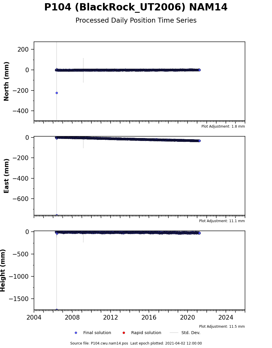
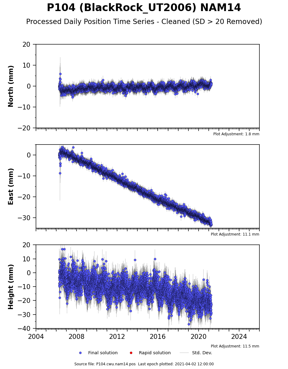
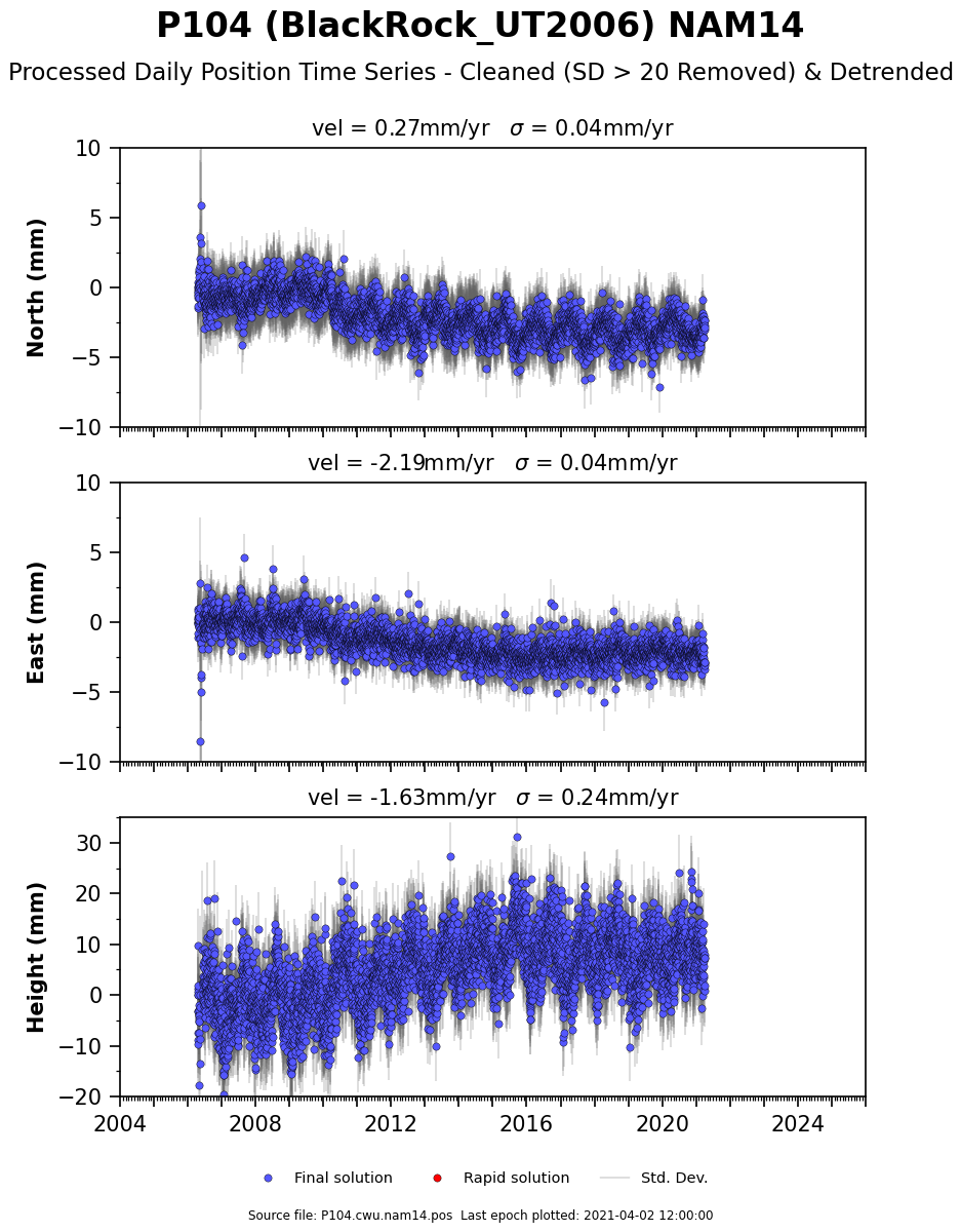
Time Series Raw Plot
Station Information
4-Char ID: P104 - GPS
Station Status: Abandoned / Inoperable
Station Name: BlackRock_UT2006
Project: PBO
Location (City, State): Hinckley, UT
Latitude, Longitude*: 39.18608, -112.71712
Elevation*: 1,397.570 m
Monument Type: DEEP-DRILLED BRACED
Station Install Date: 2006/04/12
Monument Install Date: 2006/04/12
Current Status: Abandoned

*GPS receiver values - not precise

Station Data
Station Report: Text File
Installation Report: VPN or Internal Access Only
Time Series Data: NAM14 CSV | IGS14 CSV
Time Series Plot Viewer: Nearby GPS Plots
Realtime Dataflow: Not Available
Meteorologic Plots: Not Available
Colocated Instruments
No colocated instruments
GPS Monument Coordinates
Approximate Geographic Coordinates
lat/lon/elev (d/d/m)*: 39.18608 -112.71712 1397.554
IGS14 Reference Frame
X/Y/Z (m/m/m): -1912133.947 -4567268.924 4009233.465
Ref Epoch**: 2021.241

*Approximate latitude and longitude the average of the last 7 days of positions from the analysis centers and are in decimal degrees and elevation is in meters, where "elevation" is the vertical topocentric distance from the reference ellipsoid to the antenna reference point (ARP) in NAM14 reference frame. See CORS for legal positions.

**Station position based on the most recent full 7 days of final orbit solutions available, with the reported epoch being the middle day of this 7 day period.

Map
Local Weather Data
METAR: KFOM (25 mi from KU24)*
* KU24 not currently reporting
DATE: 2026-11-10 17:15 UTC
COND: Clear (CLR)*
* METAR terms
TEMP: 50 F (10 C)
HUMIDITY: 62% WIND: 1.2 mph
Station Health Details
System Date Detail
Last Data Archived 2021-04-03 00:52:15 P104202104020000a.T00
Last Data Received 2021-04-03 00:37:56 P104202104020000a.T00
Last Rx Comms Unavailable
 

Last modified: 2026-06-30  19:26:38  America/Denver