)
Course Information | Processing and Analysis of Terrestrial Laser Scanning (TLS) Data
Note: All course materials may be found in the Google Drive folder associated with this course.
For any questions about course materials, please email crosby [at] unavco.
- Dates: October 10-12, 2017
- Time: Course will begin at 9am on Tuesday, October 10 and end at Noon on Thursday, October 12, 2017.
- Location: UNAVCO Headquarters, Boulder, CO
- Registration deadline: September 5th, 2017
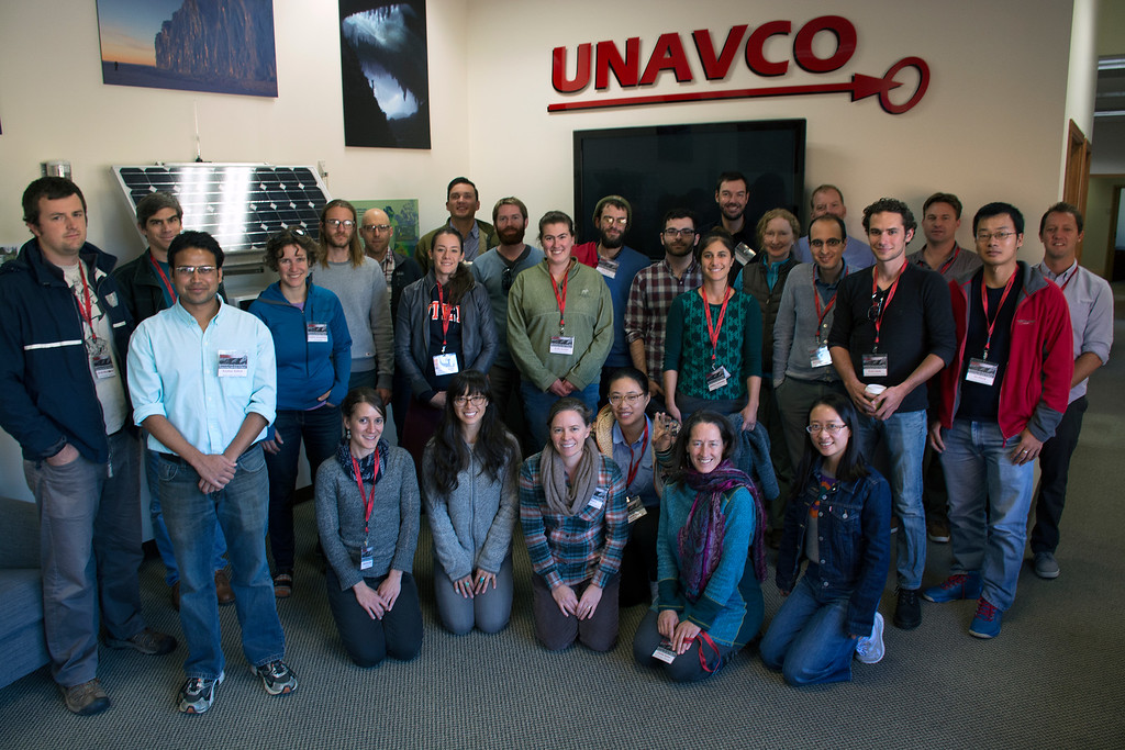
2017 course participants in Boulder, CO
Course description
This three day course will provide participants with instruction and hands-on experience with various tools and methods for Terrestrial Laser Scanning (TLS) data processing and analysis. TLS is a versatile and powerful three-dimensional geodetic imaging technology in the Earth sciences that offers sub-centimeter-resolution of topography and other surfaces. The short course will begin with a review of TLS technology and data collection workflow, followed by hands-on exercises in processing and analysis of data. Topics will include data registration, filtering and cleaning, and format and coordinate conversions. Next, we will focus on creating higher-level data products such as digital elevation models (DEMs) and other derivatives. Finally, the course will cover approaches to analysis such as quantifying topographic change using both point clouds and raster data products. The course will conclude with time for participants to work independently with their datasets while receiving feedback and suggestions from course instructors.
The course is best suited for Earth science faculty, graduate students and researchers with a beginner to intermediate level of experience with TLS and whose research interest rely, or will rely, on the use of lidar data. Highest priority acceptance will be given to UNAVCO previously or actively supported TLS PIs and graduate students.
Participants are encouraged to bring their own Windows OS laptops, with at least 8GB of RAM and 100 GB of free space. For participants who do not have a PC laptop with the above specifications, a computer will be made available.
Instructors
The course will be organized and taught by Marianne Okal, Stephen DeLong (USGS), and Christopher Crosby (UNAVCO).
Last modified: 2019-12-24 01:25:46 America/Denver