
Polar Services - Antarctic - Meta-Data Summaries (2000/01 Season) - I-190 MacAyeal
| I-190 MacAyeal |
|---|
|
Data Set Name: I-190 2000/01 Investigator: PI: Doug MacAyeal POC: PI Institution: University of Chicago Email: drm7http://uwamrc.ssec.wisc.edu/amrc/iceberg.html ( |
| Summary:
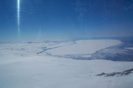
Dr. MacAyeal is studying C16, the most recent large iceberg to calve from the Ross Ice Shelf. Data were collected and processed in two modes. A USCG helicopter flew the outline of one corner of the berg to collect rough data regarding the location and orientation, and the base station data were processed in kinematic mode relative to MCM4 to provide velocity information. UNAVCO provided three geodetic receivers to the field team as well as training, data processing support and data archiving after the season. |
Last modified: 2019-12-24 02:12:42 America/Denver