
POLENET Project
POLENET - The Polar Earth Observing Network - is a consortium involving people from 28 nations that aims to dramatically improve the coverage of many different kinds of geophysical data across the polar regions of the Earth. It has been endorsed as a core activity of the International Polar Year (IPY) 2007-2008. It will overcome the scarcity of observational systems in the Earth's polar regions and will provide a legacy in observational infrastructure. POLENET will enable new research into the interaction between the atmosphere, oceans, polar ice-sheets and the Earth's crust and mantle. New insights into the Earth's magnetic field and deep Earth structure will be possible from the important vantage point of high-latitude geophysical observatories.
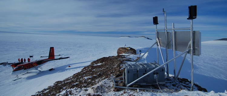
POLENET station CRDI on a rocky nunatak in the Cordiner Peaks region of western Antarctica.
UNAVCO works with polar science stakeholders and sponsors in actively developing the remote station technology required for deploying reliable autonomous GPS systems in extreme environments, supporting field deployments in Greenland and Antarctica, monitoring POLENET GPS station performance, and archiving and delivering data via the UNAVCO GPS/GNSS data archive (see Related Links at left). Broader impacts in the education and outreach arena include working with the POLENET staff at the Ohio State University in the planning and implementation of a polar research exhibit using the IRIS developed kiosk-based interactive 'museum' exhibit called Active Earth Display. RESESS interns also participate in POLENET research.
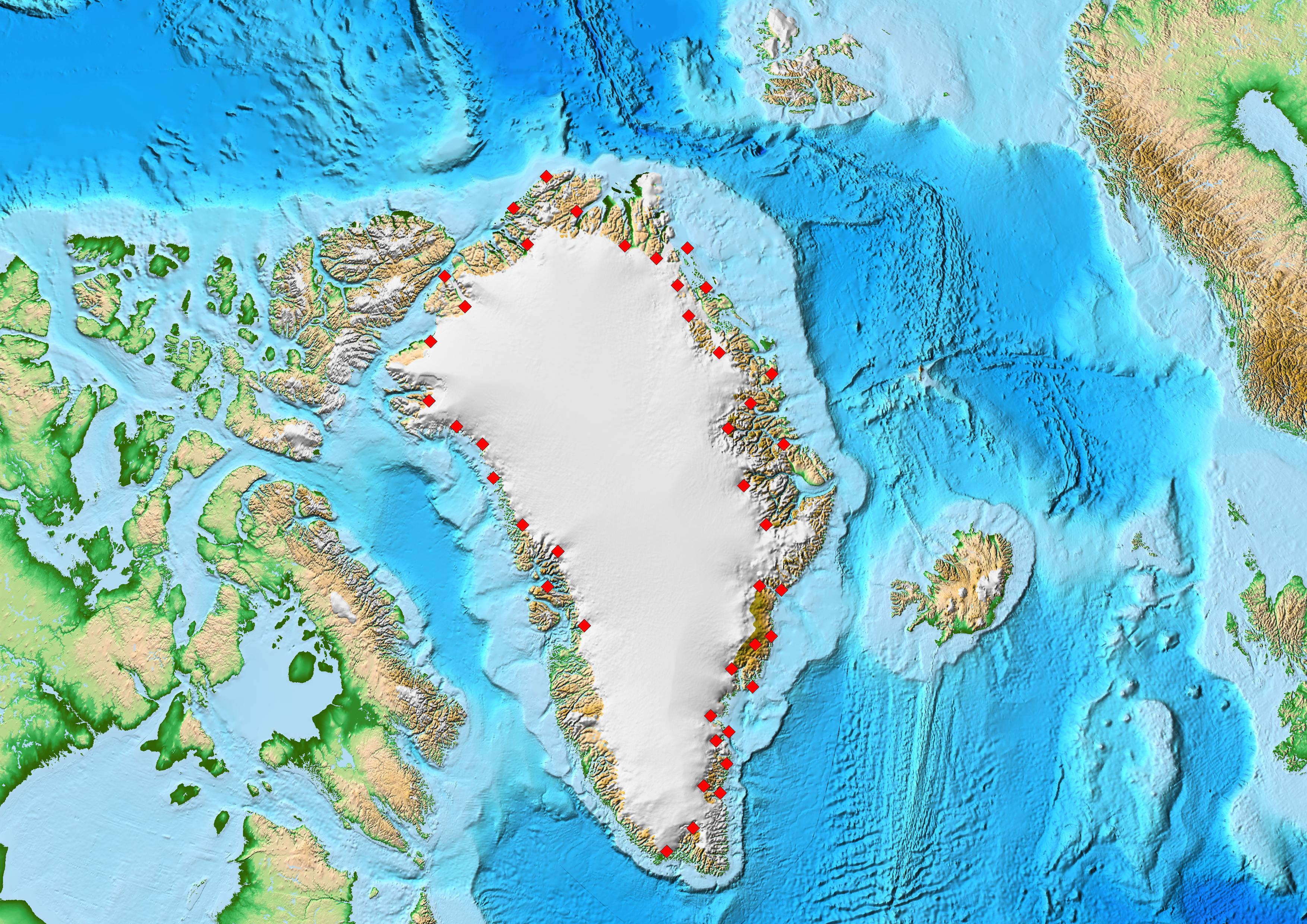
UNAVCO-supported GNET subnetwork component of POLENET stations installed in Greenland (red).
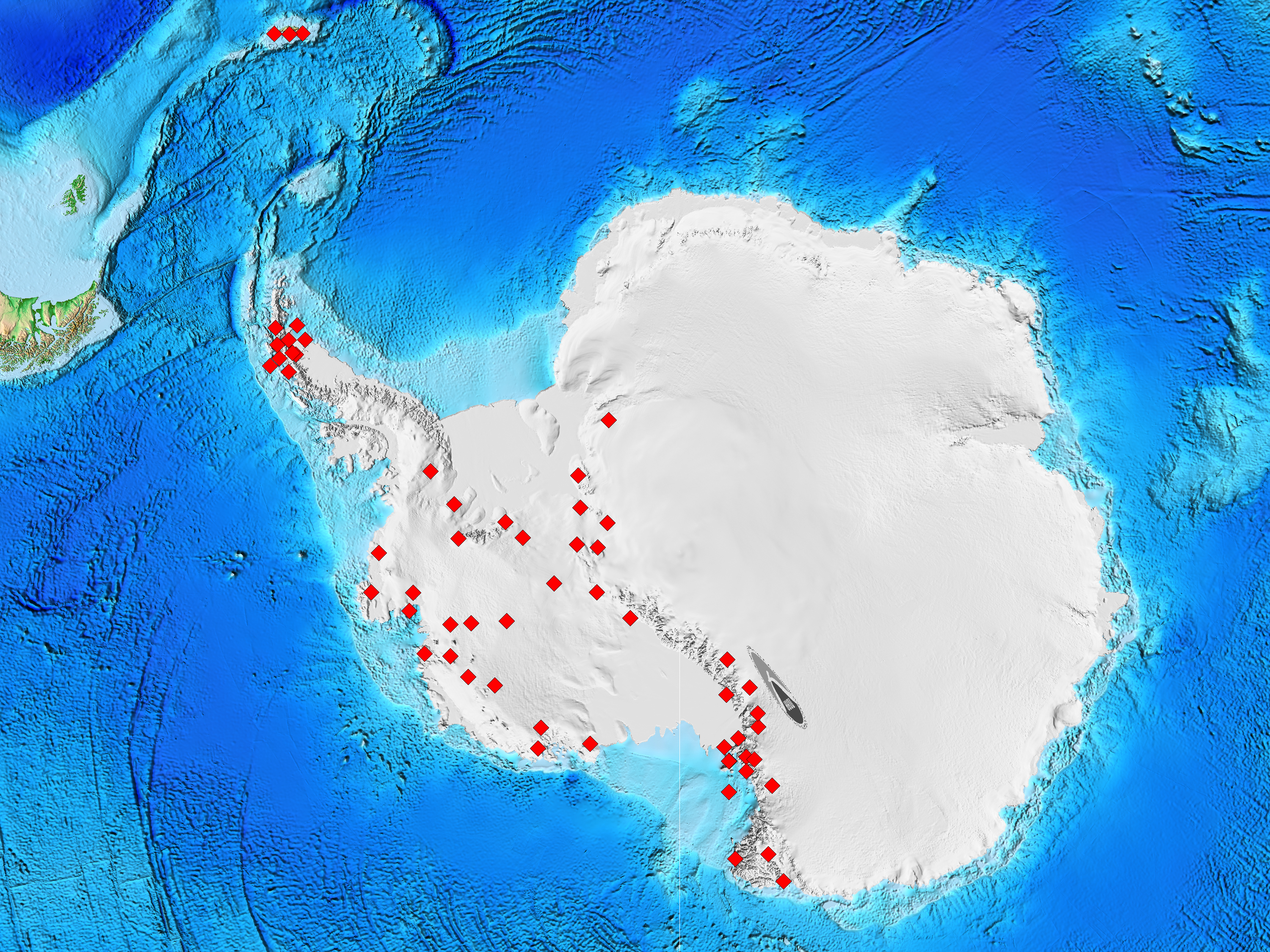
UNAVCO-supported ANET subnetwork component of POLENET stations installed in Antarctica (red).
Last modified: 2019-12-24 02:12:59 America/Denver