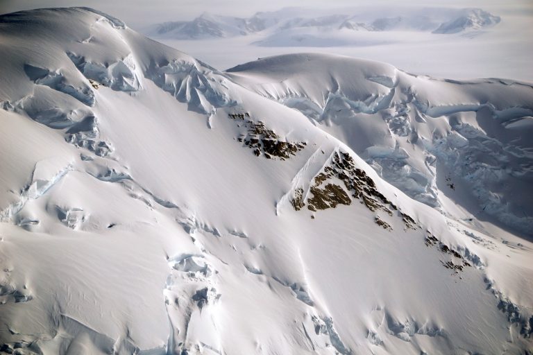
Royal Society Ranges, Antarctica. These were taken at the end of a long field day after servicing the West Haven and Butcher Ridge POLENET stations. (Photo: Annie Zaino/EarthScope)
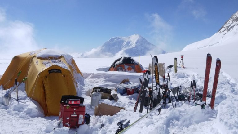
The campsite on Mount Hunter Plateau where the team spent ten days collecting samples, executing geophysical surveys, and installing a weather station. (Photo: Brendan Hodge/EarthScope)
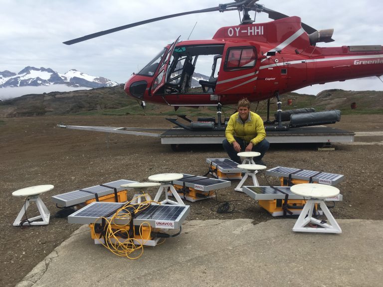
Dave Sutherland of the University of Oregon successfully recovered iceberg GPS units deployed on Helheim Glacier of eastern Greenland. (Photo: Kristin Schild/University of Oregon)
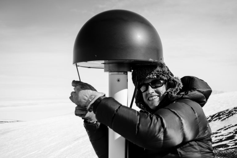
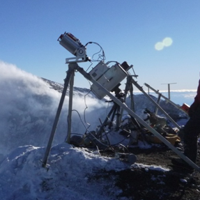
EarthScope field engineer Annie Zaino performs maintenance on a GPS station on Ross Island, Antarctica. (Photo: Nicolas Bayou/EarthScope)
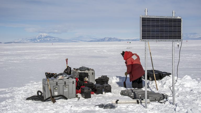
EarthScope field engineer Nicolas Bayou works to install power systems for snow accumulation instruments at Phoenix and William Fields Runways, Antarctica. (Photo: Nicolas Bayou/EarthScope)
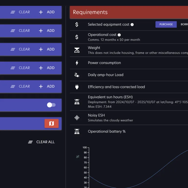
The NSF GAGE Facility operated by EarthScope provides geodetic support to NSF-OPP funded scientific investigators working in the Arctic and Antarctic. Survey grade GPS receivers, terrestrial laser scanners, and supporting power and communications systems for continuous data collection and campaign surveying are available. Operation and maintenance services are also provided for long term data collection, with on-line data distribution from the EarthScope community archive.
Researchers are expected to contact EarthScope to discuss project requirements and obtain a letter of support prior to proposal submission. For additional information regarding available services contact geodetic-instrumentation-helpearthscope.org.