
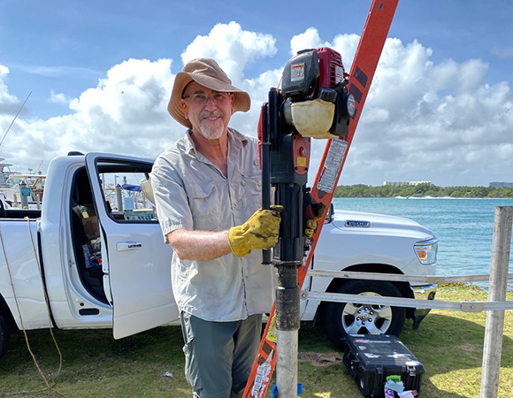
Shimon Wdowinski (PI, Florida International University) installing the solar panel and equipment enclosure masts at the Haulover County Park site. (Photo/John Galetzka, UNAVCO) 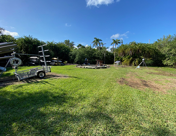
The new Deering Estate County Park GNSS site (Photo/John Galetzka, UNAVCO) 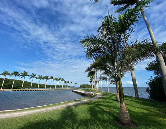
The view of Biscayne Bay from Deering Estate County Park. (Photo/John Galetzka, UNAVCO) 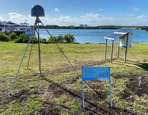
The new GNSS station at Haulover County Park. (Photo/John Galetzka, UNAVCO) 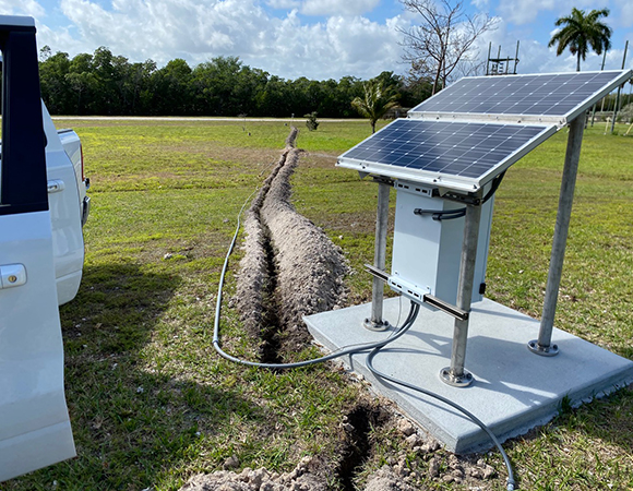
70-meter trench for GNSS antenna coaxial cable between the solar power and equipment enclosure assembly (foreground) and FCI2 monument (background). (Photo/John Galetzka) 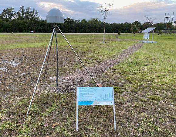
The newly operational GNSS supersite station. The solar panel and equipment enclosure assembly (right middle ground) serves both GNSS monuments. (Photo/John Galetzka, UNAVCO) 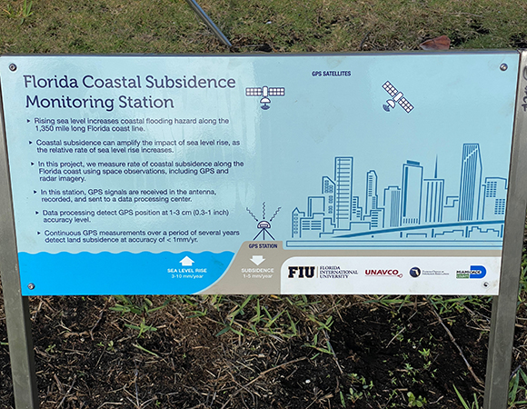
Interpretive signs accompany the GNSS installations to engage and inform the public. (Photo/John Galetzka, UNAVCO)
Project Overview
Florida coastal communities are periodically subjected to flooding events, which are induced by heavy rain, high tide, and storm surge. Over the past decade several coastal communities have experienced an increase in flooding frequency, causing significant impacts to property, commerce, and overall quality of life. Shimon Wdowinski’s recent study of Miami Beach flooding has shown that flooding frequency in the city doubled during the years 2006-2013 when compared with the previous eight-year period of 1998-2005, primarily as a result of an increased number of high tide events.
Increasing coastal flooding has occurred mainly due to higher sea level, but can also be affected by land subsidence. In this project, Shimon and his team measure land subsidence along the urban section of the Miami-Dade coastline using precise geodetic observations. These measurements will be used to evaluate the contribution of land subsidence to the increased coastal flooding hazards along the coast of Miami-Dade County.
UNAVCO Support
After a year-long process of site selection and permitting in Miami-Dade county, installation of four GNSS stations began in February, 2020. One geodetic monument (FCI1) was anchored into a relatively stable broken coral beach berm formed during a sea-level highstand, while three other braced monuments (FCI2, FCHO, and FCDE) were intentionally anchored to only 1-meter depth in land reclaimed from Biscayne Bay. Dr. Talib Oliver-Cabrera, a post-doc researcher at FIU who is now at JPL, worked on the site selection and permitting for the project.
Project Information
- Principal Investigator(s): Shimon Wdowinski, Florida International University
- UNAVCO Staff: John Galetzka
- Dates: February 9-21, 2020
- Location: Miami-Dade County, Florida, USA
- Funding Source: State of Florida Office of Insurance Regulation
- Map of Miami-Dade County, Florida
Related Links
Written by:
- John Galetzka and Beth Bartel
- Posted: 4 May 2020
- Last updated: 4 June 2021
- Tags: GPS/GNSS, project highlights
-

