
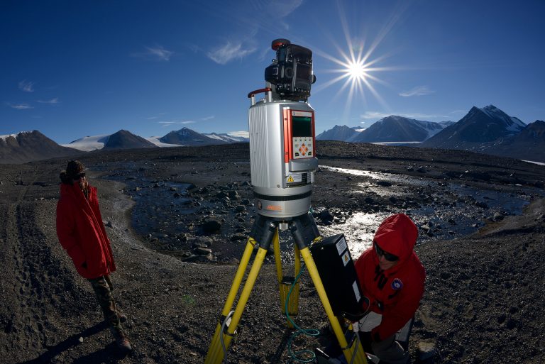
The GAGE Facility provides Uncrewed Aerial Systems (UAS) support to Earth science researchers in the community. We maintain a pool of small UAVs, as well as supporting field equipment (e.g., GPS systems, ground control, communications equipment), software, and staff trained in best practices for operation of these systems. GAGE Facility UAS staff maintain FAA certification for sUAV operation within the National Airspace. The combined expertise in GPS, TLS, and UAS technology allows the GAGE Facility to support a wide range of geodetic imaging applications in Earth science research.
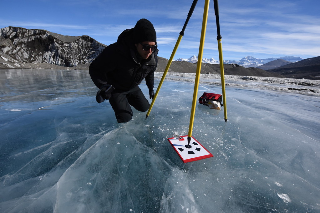
Structure from motion, also known as SfM, is a photogrammetric imaging technique that can produce very high resolution three-dimensional models of topography and other surfaces, including rock and ice outcrops, caves, buildings, and cultural objects. Structure from motion has been successful in a variety of environments for a wide range of geoscience applications including detailed mapping of fault scarps, geologic outcrops, feature characterization, thermokarst morphology, volcanoes, and glaciers. Moreover, repeat UAS SfM imaging permits measurement of surface changes through time. Concurrent GPS measurements are used to georeference the SfM data in absolute 3D coordinates. Coincident high-resolution digital orthorectified images can be used in photorealistic 3D surface models and various mapping applications.

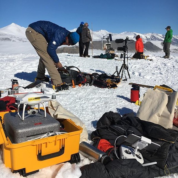
UAS are an emerging technology with applications in many facets of Earth science research and education. The GAGE Facility provides trained staff to make UAS technology more easily accessible to the Earth science community. The GAGE Facility is also a nexus for community activities such as short courses and education and outreach efforts on multiple scales.
Over the past several years, EarthScope Consortium, operator of the GAGE Facility, has developed a growing program that involves bringing UAS systems to geology field camps throughout the West. UAS is an emerging technology useful for science communication, education, and demonstration for experts, students and the general public.
Researchers and educators interested in utilizing GAGE Facility UAS resources are encouraged to contact EarthScope Consortium for additional information. We support UAS project planning, proposal preparation (including budgets and letters of support), instrumentation and field data collection, data processing, and online archiving of data. Request Support for UAS to get more information about UAS resources available to the community.
Home
- Geodetic Imaging
- Last updated: 22 August 2023