
Polar Services - Antarctic - Geodetic Benchmarks - Benchmark COTE
| Benchmark COTE | ||||
 |
||||
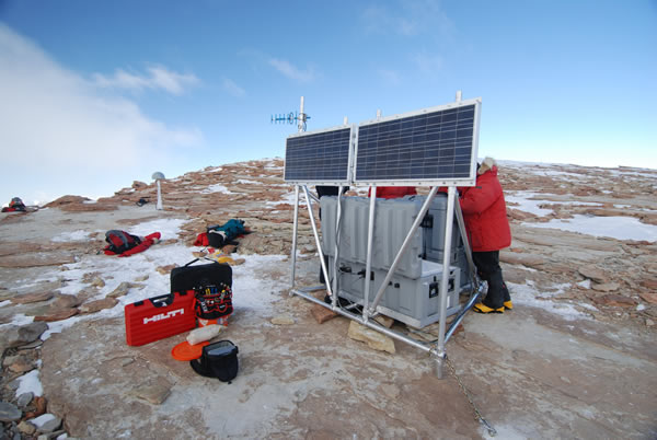
| Site Description: | POLENET CGPS Station at Mt. Coates Trimble chokering antenna TRM29659.00 with SCIS dome. | |||
|
View Larger Map |
||||
| Coordinates: | 77° 48' 21.2480"S
161° 59' 52.1077"E 1878.50m to antenna phase center. (~1932.90m MSL) ITRF-05 |
|||
| Source: | Determined using the CSRS-PPP online solution tool. | |||
| Raw Data: | UNAVCO: Data Archive Interface | |||
Last modified: 2019-12-24 02:12:43 America/Denver