
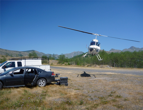
Packing gear out of the study area via USGS helicopter support. Photo by Keith Williams. 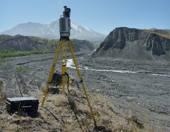
Riegl VZ-400 performing a scan of the fluvial study area. Photo by Keith Williams. 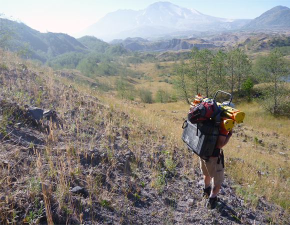
Ken Austin from UNAVCO hiking Riegl VZ-400 scanning gear into the study area. Photo by Keith Williams. 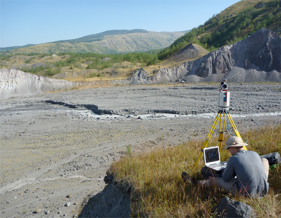
Keith Williams preparing the Riegl VZ-400 for a high resolution scan of the fluvial study area. Photo by Mike Gottlieb.
Project Overview
The Toutle River is a 17.2-mile (27.7 km) tributary of the Cowlitz River in the U.S. state of Washington. It rises in two forks merging near Toutle below Mount St. Helens and joins the Cowlitz near Castle Rock, 20 miles (32 km) upstream of the larger river’s confluence with the Columbia River. The river was altered by the 1980 eruption of Mount St. Helens and subsequent flows of ash and other debris. It was further altered by dredging to remove sediment and by construction of the Sediment Retention Structure on the river’s north fork. John Pitlick at the University of Colorado is developing datasets that can be used to model erosion and deposition along the North Fork of the river. Terrestrial Laser Scanning (TLS) will provide significantly more coverage than previous techniques which relied on surveying cross-sections. An earlier = TLS survey of this study in 2011 area demonstrated that a typical cross-section does not adequately represent the level of sediment transport that is taking place. Data sets developed from these measurements can track changes in valley-floor topography and develop models of erosion and sediment transport. The fieldwork at Mt. St. Helens was supported by the USGS-Cascades Volcano Observatory.
UNAVCO Support
John Pitlick worked with three UNAVCO field engineers to conduct the TLS survey during the month of August. This allowed a collaborative training session for the UNAVCO personnel involved as well as collecting approximately 500 million survey points for the sediment transport study. Having three field engineers permitted the study area to be expanded nearly threefold. This has provided additional TLS scan data that can be compared to previous years of Airborne Laser Scanning (ALS) data. The comparison of these data sets allows the researchers to make additional measurements over a larger study area.
Significance
TLS work in 2013 will complete three years of measured sediment change with varied degrees of snowfall on Mount St. Helens. This varied precipitation will assist in developing a more robust model of sediment change. Future plans include mapping the same area, in order to develop estimates of erosion and deposition by differencing the elevations. These future surveys will help develop quantitative models of erosion and sediment transport on these dynamic river systems.
Project Information
- Principal Investigators: John Pitlick (University of Colorado)
- UNAVCO Engineers: Keith Williams, Mike Gottlieb, and Ken Austin
- Dates: August 2012
- Location: North Fork Toutle River, Mount St. Helens National Park, Washington
- Funding Source: USGS-Cascades Volcano Observatory
Related Links
Written by:
- Keith Williams
- Posted: 21 February 2013
- Last updated: 15 July 2021
- Tags: project highlights, TLS
-

