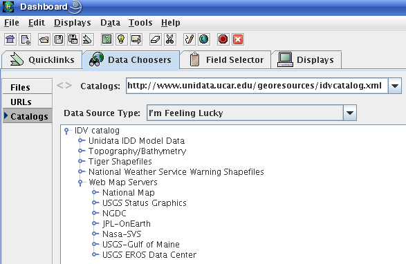
In the IDV Dashboard, Data Choosers, Catalogs entry box, select the idvcatalogs.xml item, http://www.unidata.ucar.edu/georesources/idvcatalogs.xml -
choose this catalog, and in the window click on (open) "Web Map Servers" section of the list.
There are hundreds of individual images you can add to IDV displays from the WMS items listed here. Below are shown a few examples. Click to move through the catalog listings. Double-click on a choice to display, in the IDV Data Choosers Catalogs list, and the display is made for you. These all make image layers in the IDV; usually the IDV use is as a backgound to a map view, since the images are opaque and hide anything in an IDV display beneath the image.
For the web-based topography data sources, see IDV Topography Data Sources
A WMS image source and the IDV maps the image on any IDV display correctly. And together they automatically increase resolution (detail) as you zoom in. The colors are fixed by the data provider, not the IDV. If the catalog chooser list gets stuck in a non-functional configuration, click on "Update" in the lower part of the Data Choosers panel.
For the highest resolution, in the display control for the image, set "Resolution" to "Very High" in the pull-down menu.
Choose NGDC - Marine Data - Digital Elevation Model Discovery Portal - ETOPO2/MODIS Relief
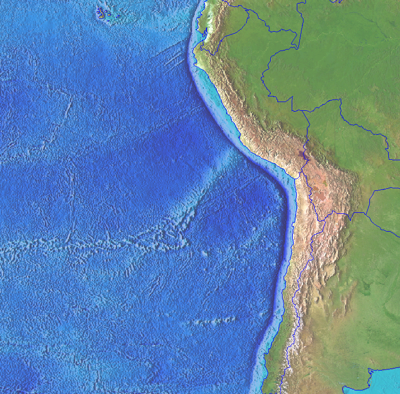
(click for full size image)
Choose "NGDC - Marine Data - Marine Geology Data - Relief from wsiearth image "
Other data Images
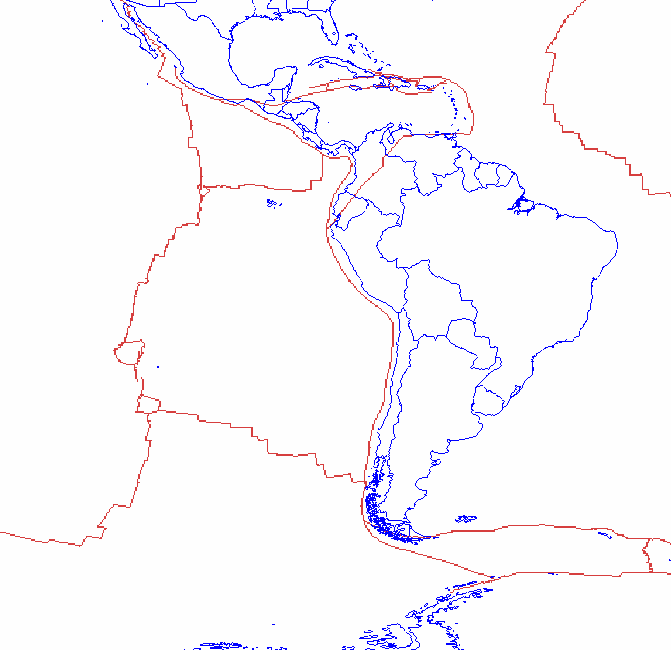
NGDC Hazards: Plate Boundaries (image)
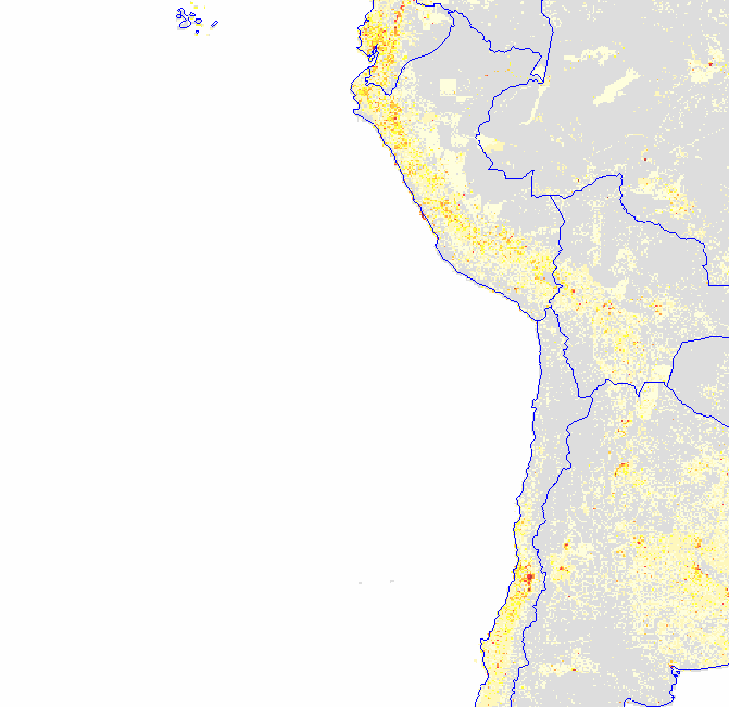
NGDC Hazards: Population
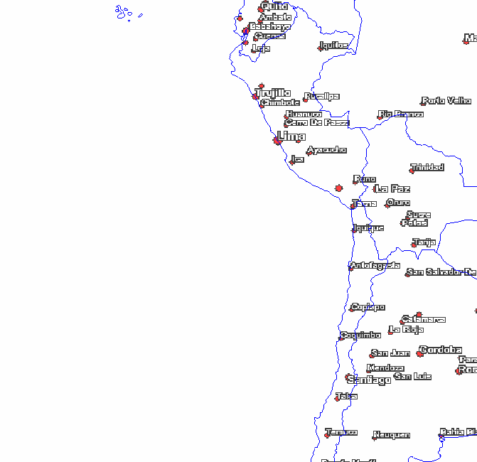
NGDC Hazards: City Names (image)
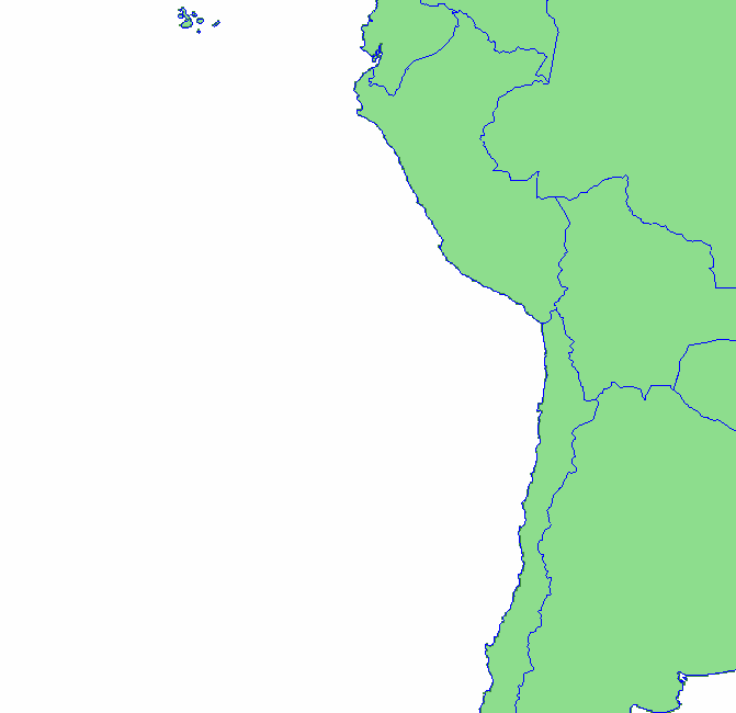
NGDC Satellite - Fire: Continent Outlines
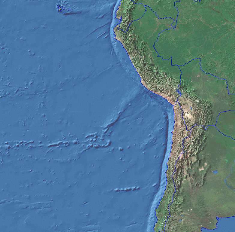
(click for full size image)
(click for full size image)
(click for full size image)
(click for full size image)
(click for full size image)