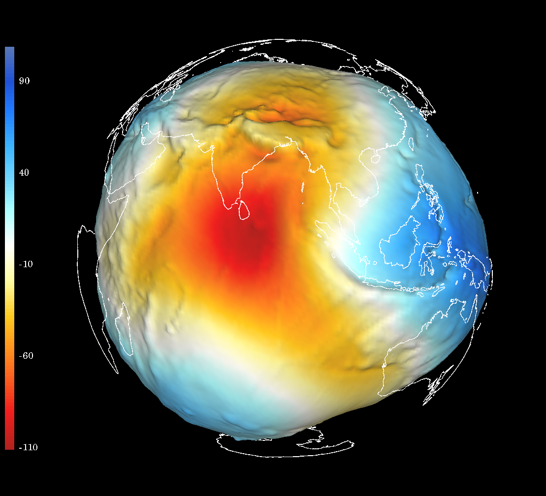
GOCE geoid height of Asia Click for full size
GOCE geoid height of Asia
Click for full size

GOCE geoid height of India-Tibet
Click for full size
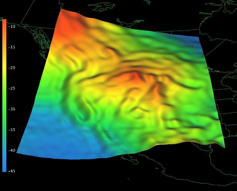
GOCE geoid height in western U.S.
Click for full size
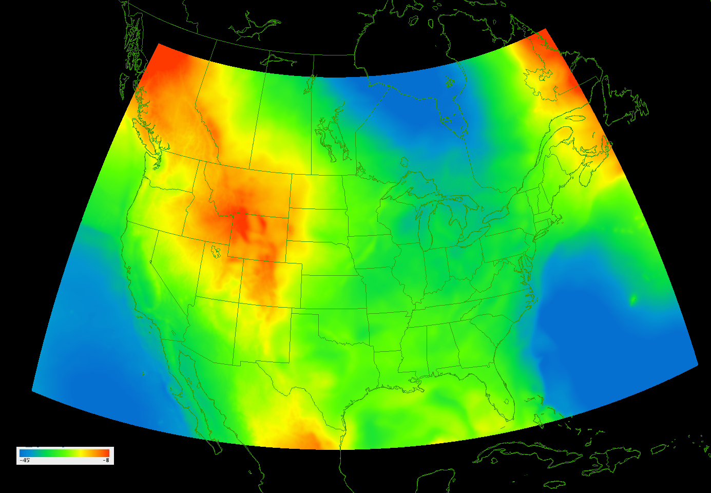
GOCE geoid height in western U.S., 3D oblique from south
Click for full size
Data:
GOCE data is easily obtained from ESA's GOCE Uers Toolbox (GUT), which makes netCDF format files right for the IDV.
NetCDF files made by UNAVCO using the GUT:
GOCE_geoid_height_above_reference_ellipsoid_global_1deg_grid.nc 1 degree grid
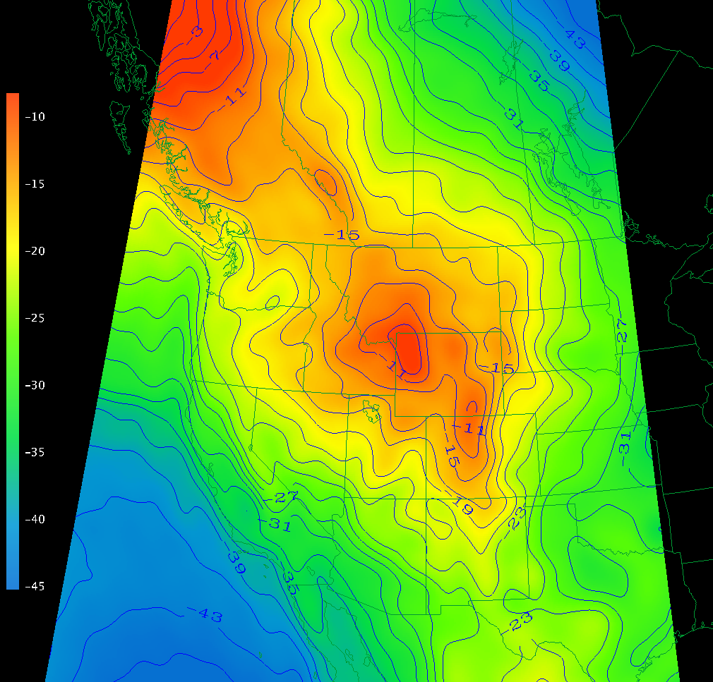
GEOID09:
 Click for full size
The IDV can contour this data as well.
Data source:
NGS's GEOID 09.
The NGS GEOID09 is a hybrid geoid
to converts heights from NAD 83 to regional Vertical datums
(e.g., NAVD 88 , GUVD04, ASVD02, NMVD03 and the future vertical datums PRVD02 and VIVD09).
These geoid heights are only reliable within CONUS due to the limited extents of the data used to compute it.
See also Geophysics of the Geoid.
24 to 58 North; 230 to 300 East longitude.
Download original data from:
http://www.ngs.noaa.gov/PC_PROD/GEOID09/
Original data reformatted to NetCDF format file for IDV use:
GEOID09.nc .